


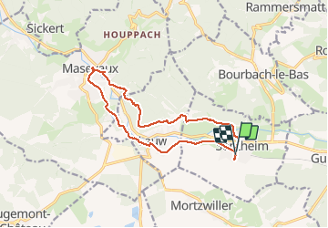

19.9 km | 34 km-effort

User


FREE GPS app for hiking
 SityTrail
IGN / Geographical institutes
SityTrail World
The world is yours!
Trail Walking of 14.3 km to be discovered at Grand Est, Haut-Rhin, Sentheim. This trail is proposed by helmut68.
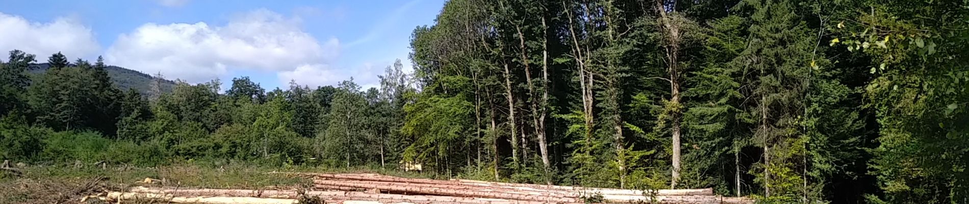
Boucle principalement en forêt pour faire le marché de Masevaux ( tous les mercredis matins ) à partir de Sentheim.
Alors à vos chaussures...N'oubliez pas le porte monnaie et le masque !


Walking

Walking

Walking

On foot

On foot

Walking


Mountain bike

Walking