


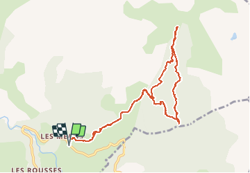

14 km | 25 km-effort


User


FREE GPS app for hiking
 SityTrail
IGN / Geographical institutes
SityTrail World
The world is yours!
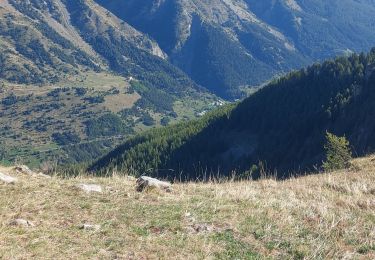
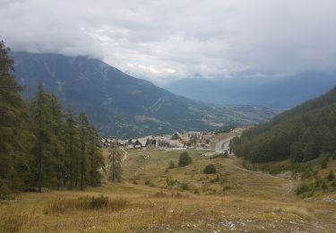
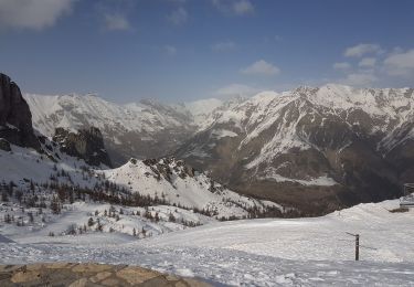
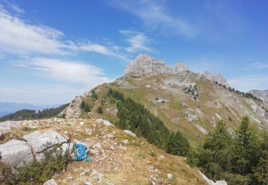
Trail Walking of 10.7 km to be discovered at Provence-Alpes-Côte d'Azur, Hautes-Alpes, Réallon. This trail is proposed by GILOU440.
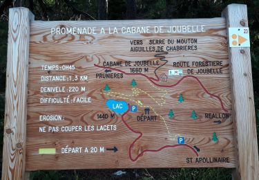
la boucle en sentier.
le reste piste.
Aller voir les Cascades.


Walking
Walking

Walking
Walking
Snowshoes
Walking
Walking

Walking
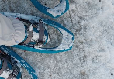
Snowshoes