


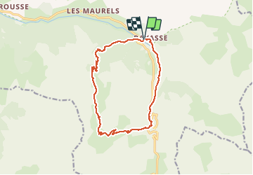

16.4 km | 34 km-effort


User


FREE GPS app for hiking
 SityTrail
IGN / Geographical institutes
SityTrail World
The world is yours!
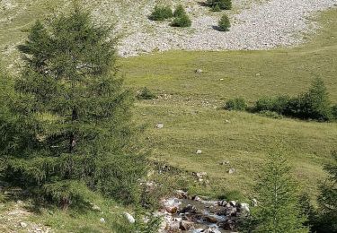
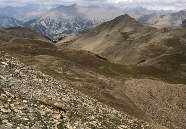
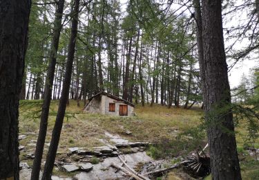
Trail Walking of 15.1 km to be discovered at Provence-Alpes-Côte d'Azur, Alpes-de-Haute-Provence, Uvernet-Fours. This trail is proposed by bymarc26.
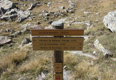
superbe rando très progressive.
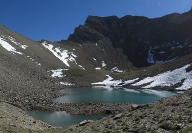
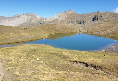
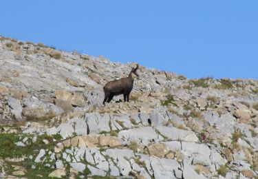
Marmottes et chamois.
A faire
Walking

Walking
On foot
Walking
Walking
Walking
Walking

Walking
Walking