


point de Cornet -12,9km-867 m dénivelés 12-09-2020

Alainconnu
User

Length
12.9 km

Max alt
2381 m

Uphill gradient
865 m
Km-Effort
24 km

Min alt
1556 m

Downhill gradient
867 m
Boucle
Yes
Creation date :
2020-09-12 07:35:44.181
Updated on :
2020-09-12 15:18:08.215
3h42
Difficulty : Difficult

FREE GPS app for hiking
 SityTrail
IGN / Geographical institutes
SityTrail Plus
The world is yours!
About
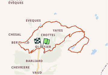
Trail Walking of 12.9 km to be discovered at Aosta Valley, Unknown, Ollomont. This trail is proposed by Alainconnu.
Positioning
Country:
Italy
Region :
Aosta Valley
Department/Province :
Unknown
Municipality :
Ollomont
Location:
Unknown
Start:(Dec)
Start:(UTM)
368405 ; 5081393 (32T) N.
Comments