


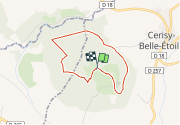

8.7 km | 11.6 km-effort


ensemble sur les chemins


FREE GPS app for hiking
 SityTrail
IGN / Geographical institutes
SityTrail World
The world is yours!
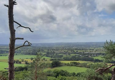
Trail On foot of 3.2 km to be discovered at Normandy, Orne, Cerisy-Belle-Étoile. This trail is proposed by AACLARANDO.
randonnée dans foret, petits sentiers et très peu de routes
Walking
Mountain bike
Walking

Walking

On foot
Other activity

Mountain bike
Walking