


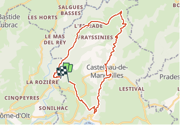

25 km | 32 km-effort


User


FREE GPS app for hiking
 SityTrail
IGN / Geographical institutes
SityTrail World
The world is yours!
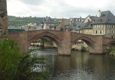
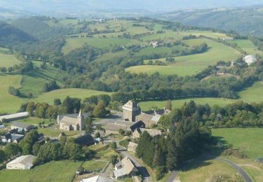
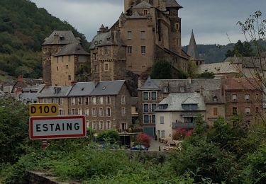
Trail On foot of 17.6 km to be discovered at Occitania, Aveyron, Castelnau-de-Mandailles. This trail is proposed by pierre45.
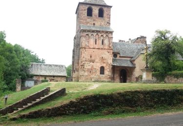
Walking
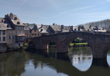
Walking
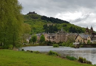
Walking

Walking
Walking

Other activity
Cycle

Walking
Walking