


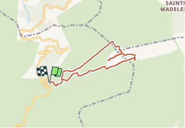

11.7 km | 18.6 km-effort


User


FREE GPS app for hiking
 SityTrail
IGN / Geographical institutes
SityTrail World
The world is yours!
Trail Walking of 7.9 km to be discovered at Provence-Alpes-Côte d'Azur, Bouches-du-Rhône, Gémenos. This trail is proposed by fredetpascale.
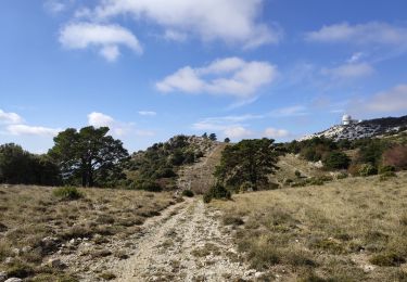
Vallon du Chemin de fer peu pratiqué, broussailles, pénible et pas intéressant.

Walking

Walking

Walking

Walking

Mountain bike

Walking
Walking
Walking
Walking