


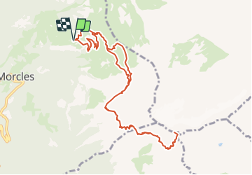


14.3 km | 17.1 km-effort


User


FREE GPS app for hiking
 SityTrail
IGN / Geographical institutes
SityTrail World
The world is yours!
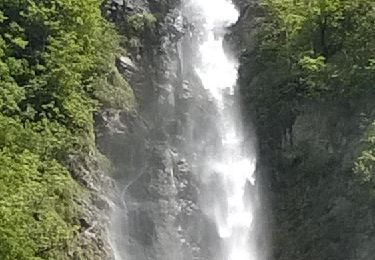
Trail Walking of 12 km to be discovered at Vaud, District d'Aigle, Lavey-Morcles. This trail is proposed by otrement.
Du parking, emprunter le sentier qui monte tout de suite à gauche. Celui-ci permet de couper les virages de la route carrossable et d''atteindre rapidement la cabane de la Tourche. Il faut traverser ensuite toute la grande combe qui nous mène à Rionda avant d''attaquer cette montée mythique d''abord dans les prés, puis les pierrier et enfin dans le rocher pour sortir juste à 5 min. du sommet.
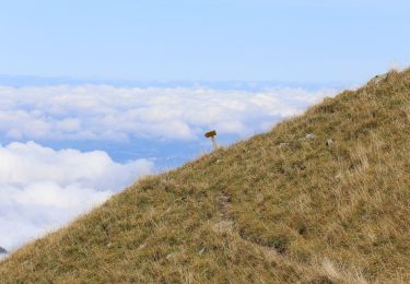
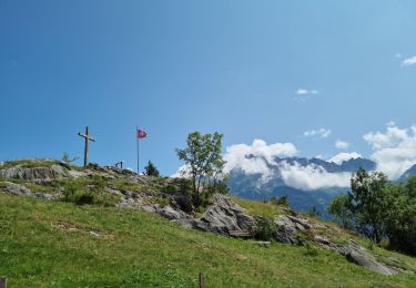
Déconseillé aux personnes sensible au vide ! Choisir une journée claire car le panorama depuis le sommet et grandiose. Pour les sportif, effectuer cette sortie le soir avec souper au sommet et descente avec le couché du soleil !
On foot
On foot
Walking

Mountain bike

Walking
Walking
Walking
Walking

Running