


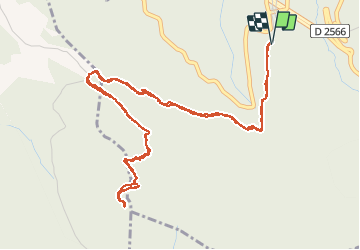

8.1 km | 14.4 km-effort


User


FREE GPS app for hiking
 SityTrail
IGN / Geographical institutes
SityTrail World
The world is yours!
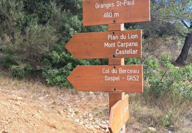
Trail Walking of 7.3 km to be discovered at Provence-Alpes-Côte d'Azur, Maritime Alps, Castillon. This trail is proposed by aris.
Randonnée facile de moins de 3h pour confinement version "3h, 20km". Vue panoramique en haut.

Walking
On foot
On foot

On foot
On foot

Walking
Walking

Walking

Walking