


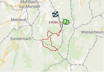

12.7 km | 20 km-effort


User


FREE GPS app for hiking
 SityTrail
IGN / Geographical institutes
SityTrail World
The world is yours!
Trail Touring skiing of 10 km to be discovered at Grand Est, Haut-Rhin, Luttenbach-près-Munster. This trail is proposed by arnaudschmitt.
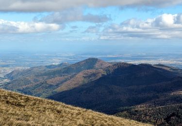
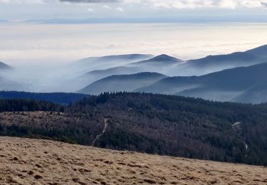
Beaucoup de neige

Walking

Walking

Walking

Walking

Mountain bike
Walking

On foot

Walking
Walking