


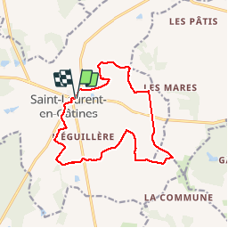

10.3 km | 11.5 km-effort


User


FREE GPS app for hiking
 SityTrail
IGN / Geographical institutes
SityTrail World
The world is yours!
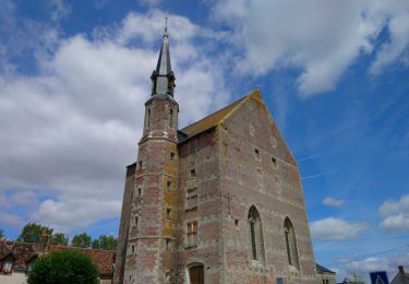
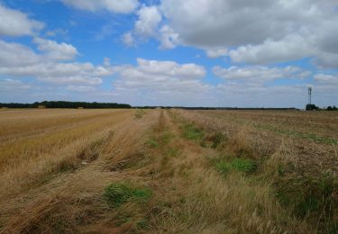
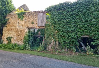
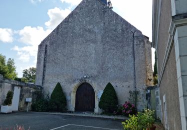
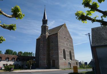
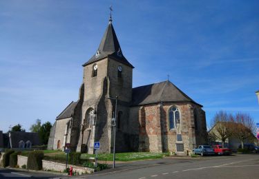
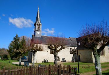
Trail Walking of 13.9 km to be discovered at Centre-Loire Valley, Indre-et-Loire, Saint-Laurent-en-Gâtines. This trail is proposed by dporcher.
joli

Walking
Walking

Walking
Walking
Walking

Walking
Walking
Walking
Walking