


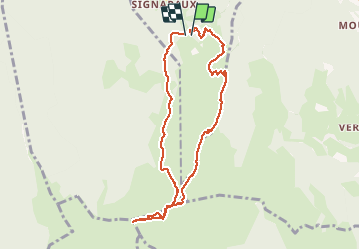

58 km | 72 km-effort


User


FREE GPS app for hiking
 SityTrail
IGN / Geographical institutes
SityTrail World
The world is yours!
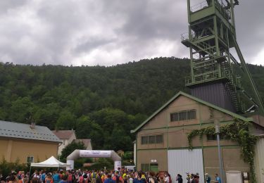
Trail Walking of 8.7 km to be discovered at Auvergne-Rhône-Alpes, Isère, La Motte-d'Aveillans. This trail is proposed by patjobou.
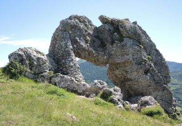
Boucle tranquille, entre vieux névés (déjà !) et premiers paturages. Raquettes inutiles vu l'enneigement.


Road bike
Mountain bike
Walking
Walking

Walking
Mountain bike

Walking
Trail
Walking