


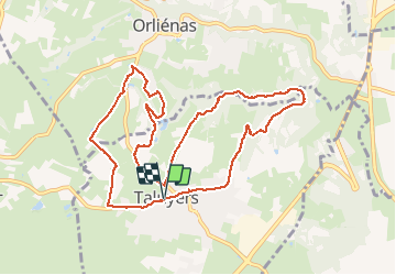

23 km | 27 km-effort


User


FREE GPS app for hiking
 SityTrail
IGN / Geographical institutes
SityTrail World
The world is yours!
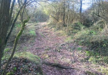
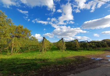
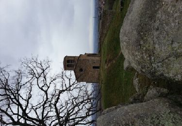
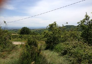
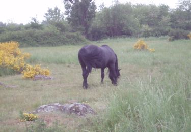
Trail Walking of 10.8 km to be discovered at Auvergne-Rhône-Alpes, Rhône, Taluyers. This trail is proposed by mimi69670.
Autour de Taluyers
Mountain bike
Walking
Other activity
Mountain bike
On foot
Walking
Other activity
Walking
Walking