


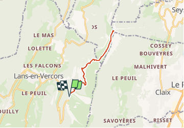

9.1 km | 13.8 km-effort


User


FREE GPS app for hiking
 SityTrail
IGN / Geographical institutes
SityTrail World
The world is yours!
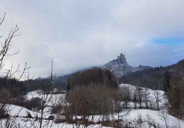
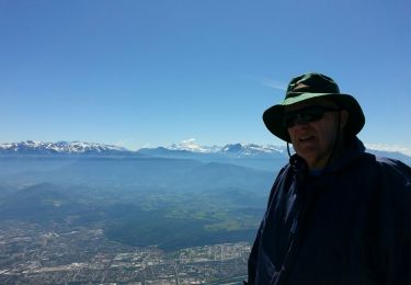
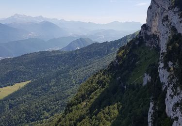
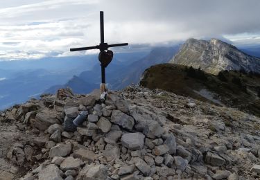
Trail Nordic walking of 11.8 km to be discovered at Auvergne-Rhône-Alpes, Isère, Lans-en-Vercors. This trail is proposed by Lionel Treil.
Très facile même avec les enfants , mais attention au dénivelé
Nordic walking
Walking

Snowshoes

Walking
Walking
Walking

Walking

Snowshoes

Walking