


colognac

Bwattier
User
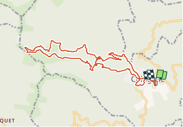

Length
12.1 km

Max alt
904 m

Uphill gradient
388 m
Km-Effort
17.3 km

Min alt
552 m

Downhill gradient
393 m
Boucle
Yes
Creation date :
2021-02-28 09:12:59.737
Updated on :
2021-02-28 14:28:33.279
4h15
Difficulty : Very easy

FREE GPS app for hiking
 SityTrail
IGN / Geographical institutes
SityTrail Plus
The world is yours!
About
Trail Walking of 12.1 km to be discovered at Occitania, Gard, Colognac. This trail is proposed by Bwattier.
Positioning
Country:
France
Region :
Occitania
Department/Province :
Gard
Municipality :
Colognac
Location:
Unknown
Start:(Dec)
Start:(UTM)
566332 ; 4875133 (31T) N.
Comments