


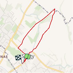


6.2 km | 9.9 km-effort


User


FREE GPS app for hiking
 SityTrail
IGN / Geographical institutes
SityTrail World
The world is yours!
Trail Walking of 3.3 km to be discovered at Auvergne-Rhône-Alpes, Ain, Sergy. This trail is proposed by sergy.
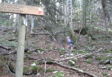
Depuis la mairie/l''église, prenez la RD89b vers l''Est (Divonne). Dans le virage, à hauteur de la ferme, quittez l''avenue du Jura pour prendre le chemin de "Paillaz" ; route goudronnée (sauf sur 300 mètres :carrossable) puis prenez à gauche (ouest) pour revenir sur le chemin des "granges"(ferme agricole) qui rejoint la rue du Crêt de la Neige (ferme agricole/château, ralentisseur /passage étroit).
De là, redescendez la rue sur 200 mètres, suivez la route principale qui vous ramène au carrefour vers l''église/mairie (point de départ).
Snowshoes
Walking
Walking
Walking

Walking

Walking
Walking
Walking
Walking