


15 km | 21 km-effort

User


FREE GPS app for hiking
 SityTrail
IGN / Geographical institutes
SityTrail World
The world is yours!
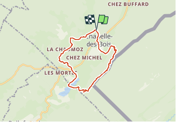
Trail Walking of 13.8 km to be discovered at Bourgogne-Franche-Comté, Doubs, Chapelle-des-Bois. This trail is proposed by gdela.
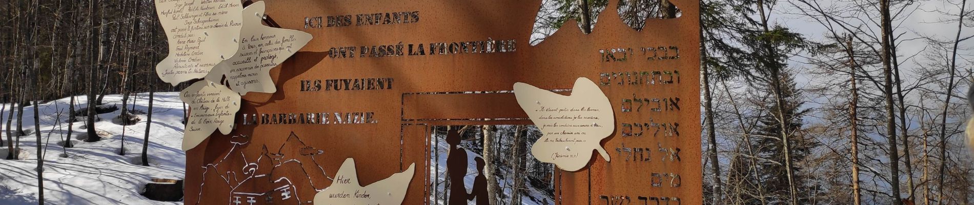
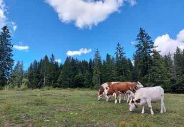
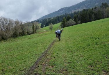
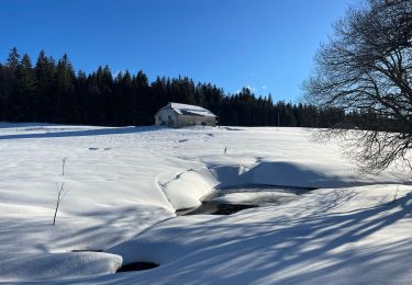
Nous avons longé la frontière Suisse


Walking

Walking
Walking
Walking
Walking
Walking
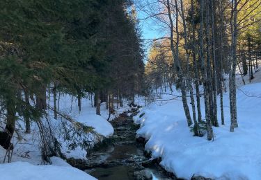
Snowshoes
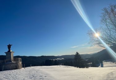
Snowshoes
Snowshoes