


Joué-lès-Tours - 12.9km 100m 2h25 - 2021 04 03

Orcal37
User GUIDE
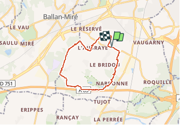

Length
12.9 km

Max alt
107 m

Uphill gradient
102 m
Km-Effort
14.2 km

Min alt
77 m

Downhill gradient
102 m
Boucle
Yes
Creation date :
2021-04-03 12:44:49.518
Updated on :
2021-04-06 12:51:05.863
2h25
Difficulty : Easy

FREE GPS app for hiking
 SityTrail
IGN / Geographical institutes
SityTrail Plus
The world is yours!
About
Trail Walking of 12.9 km to be discovered at Centre-Loire Valley, Indre-et-Loire, Joué-lès-Tours. This trail is proposed by Orcal37.
Description
Joué-lès-Tours - variante PR - 12.9km 100m 2h25 - 2021 04 03
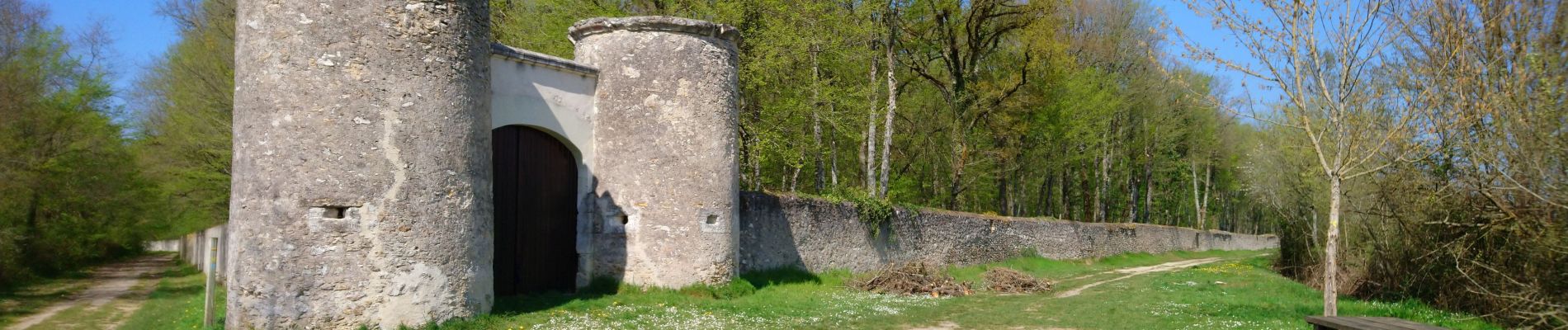
Photos


Positioning
Country:
France
Region :
Centre-Loire Valley
Department/Province :
Indre-et-Loire
Municipality :
Joué-lès-Tours
Location:
Unknown
Start:(Dec)
Start:(UTM)
322322 ; 5244165 (31T) N.
Comments