


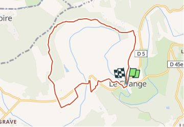

9.3 km | 12.2 km-effort


User


FREE GPS app for hiking
 SityTrail
IGN / Geographical institutes
SityTrail World
The world is yours!
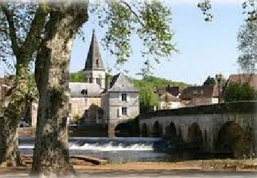
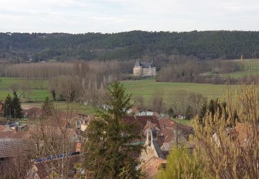
Trail Walking of 9 km to be discovered at New Aquitaine, Dordogne, Bassillac et Auberoche. This trail is proposed by YV24.
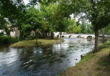
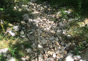
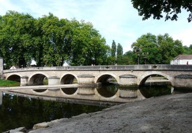
PDIPR. Boucle bien tracée, balisée, panneautée. Parcours varié, agréable, (partie au bord de l'Auvézere), peu de route

Walking
On foot
Walking
Walking
Walking
Walking
Walking
Walking
Walking
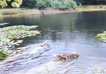
belle rando près de la rivière et bois