


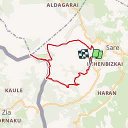

6.6 km | 8.9 km-effort


User


FREE GPS app for hiking
 SityTrail
IGN / Geographical institutes
SityTrail World
The world is yours!
Trail Walking of 13.8 km to be discovered at New Aquitaine, Pyrénées-Atlantiques, Sare. This trail is proposed by DECHAMPD.
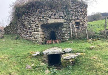
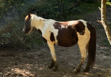
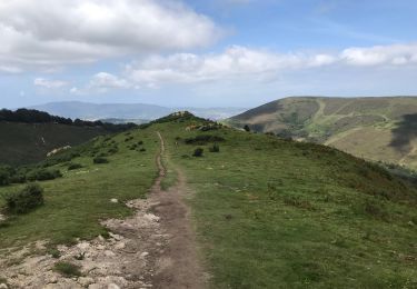
boucle d'environ 14 km au départ de Xantakoenea (Sare) petit pont du ruisseau Portua. la chapelle d'Olhain ainsi qu'une redoute). Le col d'Olhain 349m, puis FAAGUE (FAGO) avant d'atteindre la borne frontière n° 30 498m, la 29,28,tumulus et cromlech 654m. 1ere grande montée pour passer la borne 27 au col d'Urkila et la fontaine 814m.
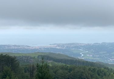
Le sommet de La Rhune à 30mn 905m.
Retour par le col d'Urkila pour atteindre le col d'Urkilepoa 723m avant de descendre au col des 3 fontaines 541m. en suivant la voie ferrée avant de descendre vers Sare en passant par Larraldea et Iratzeburua et retrouver les voitures
Walking
Walking

Walking

Walking
Walking
Walking
Walking
Mountain bike

sport
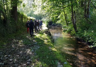
super rando pour des randonneurs qui venaient de la Drôme. Merci