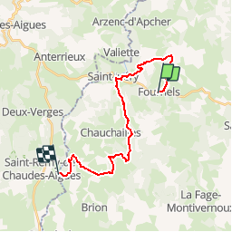

22 km | 31 km-effort


User


FREE GPS app for hiking
 SityTrail
IGN / Geographical institutes
SityTrail World
The world is yours!
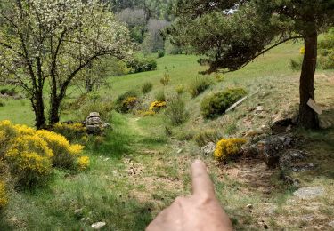
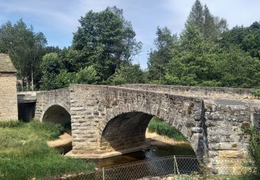
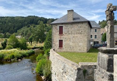
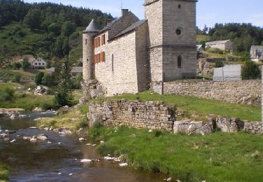
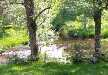
Trail Walking of 21 km to be discovered at Occitania, Lozère, Fournels. This trail is proposed by SERUS.
Fournels-Courbepeyre-St Juéry-
Le Cheylaret-La Chaldette

On foot
Walking
Walking
Walking
Walking
Walking
Walking
Walking