


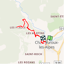

8.2 km | 18.4 km-effort

User


FREE GPS app for hiking
 SityTrail
IGN / Geographical institutes
SityTrail World
The world is yours!
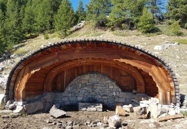
Trail Walking of 8 km to be discovered at Provence-Alpes-Côte d'Azur, Hautes-Alpes, Châteauroux-les-Alpes. This trail is proposed by BLANCHET.
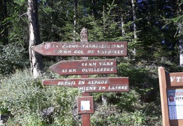
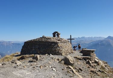
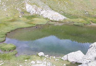
c est une balade
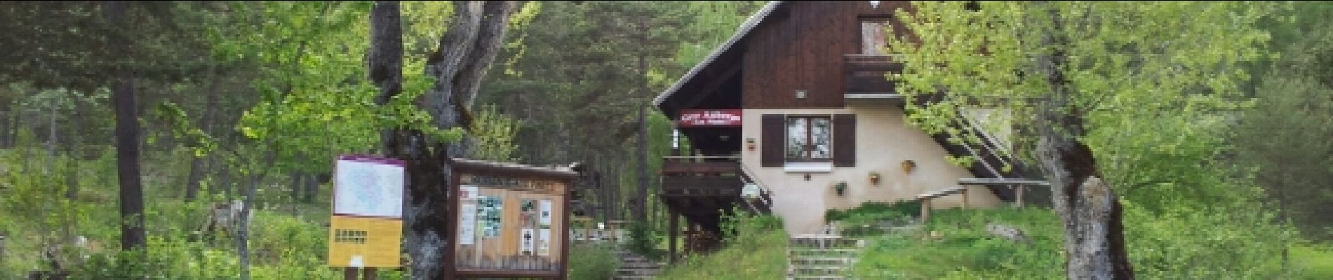
pas une rando. on peut manger au refuge. En été on évitera pas les
voitures sur ma route de la cascade.

Walking

Walking

Walking

Walking
Walking
Walking
Walking
Walking
Walking