


savasse21

parastat
User
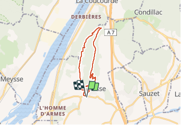

Length
10.4 km

Max alt
384 m

Uphill gradient
346 m
Km-Effort
15 km

Min alt
143 m

Downhill gradient
347 m
Boucle
Yes
Creation date :
2022-02-09 12:24:36.623
Updated on :
2022-02-09 16:20:38.519
2h52
Difficulty : Difficult

FREE GPS app for hiking
 SityTrail
IGN / Geographical institutes
SityTrail Plus
The world is yours!
About
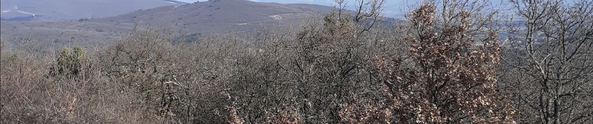
Trail Walking of 10.4 km to be discovered at Auvergne-Rhône-Alpes, Drôme, Savasse. This trail is proposed by parastat.
Photos


Positioning
Country:
France
Region :
Auvergne-Rhône-Alpes
Department/Province :
Drôme
Municipality :
Savasse
Location:
Unknown
Start:(Dec)
Start:(UTM)
640937 ; 4940091 (31T) N.
Comments