


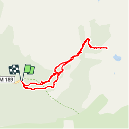


13.1 km | 0 m-effort

User


FREE GPS app for hiking
 SityTrail
IGN / Geographical institutes
SityTrail World
The world is yours!
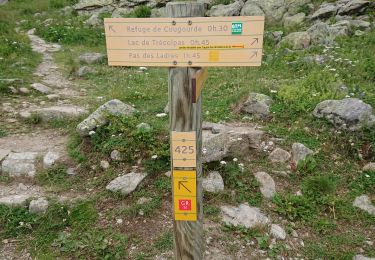
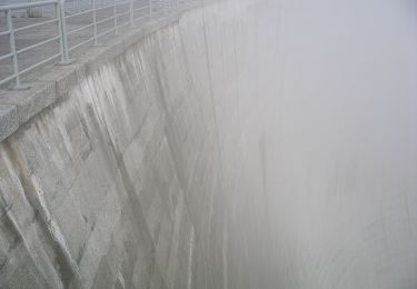
Trail Walking of 13.3 km to be discovered at Provence-Alpes-Côte d'Azur, Maritime Alps, Saint-Martin-Vésubie. This trail is proposed by patsure.
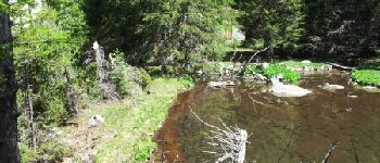
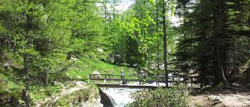
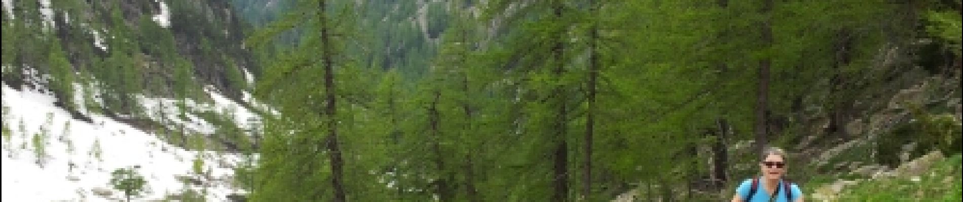
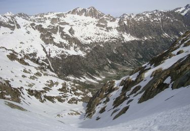
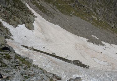
La rando n'a pu se terminer car le dernier raidillon pour atteindre le lac était enneigé bien que nous soyons au mois de juin.
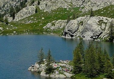
Ne pas tenir compte de la durée, nous avons fait de nombreuses haltes photos et rencontré un soucis de chaussures à la descente.


Walking

Walking
On foot
On foot
On foot
On foot

Walking

Walking
Walking