


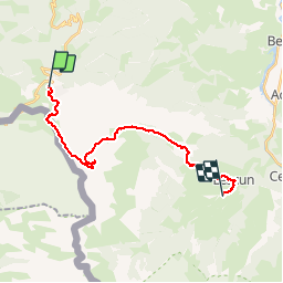

10.1 km | 14.2 km-effort


User


FREE GPS app for hiking
 SityTrail
IGN / Geographical institutes
SityTrail World
The world is yours!
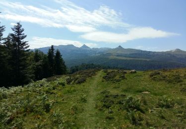
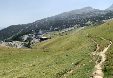
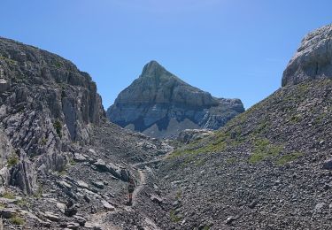
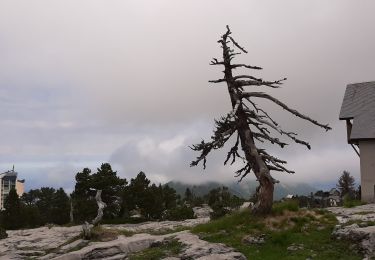
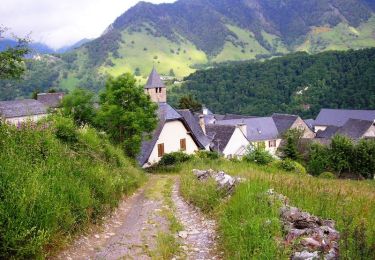
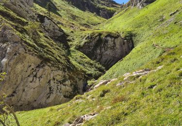
Trail Walking of 24 km to be discovered at New Aquitaine, Pyrénées-Atlantiques, Arette. This trail is proposed by longissor.
La Pierre St Martin / Camping de Lauzart
On foot
On foot
Walking
Walking
Walking
Walking

Other activity
Walking
Walking