


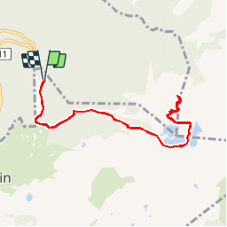


11.4 km | 20 km-effort


User


FREE GPS app for hiking
 SityTrail
IGN / Geographical institutes
SityTrail World
The world is yours!
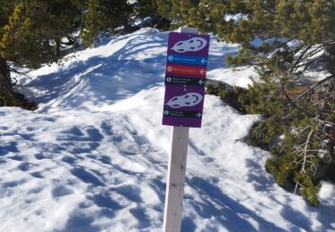
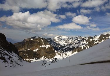
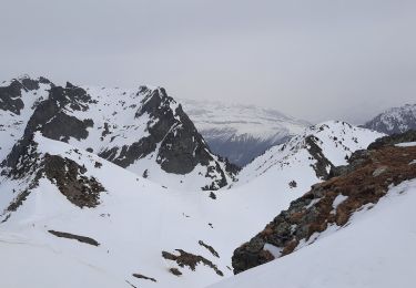
Trail Walking of 9.2 km to be discovered at Auvergne-Rhône-Alpes, Isère, Chamrousse. This trail is proposed by marshall44.
tour de lacs Robert
chamrousse
belldonne

Walking
On foot
On foot
On foot

On foot
Walking
Touring skiing
Walking
Walking