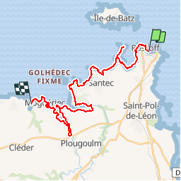

19.7 km | 22 km-effort

User


FREE GPS app for hiking
 SityTrail
IGN / Geographical institutes
SityTrail World
The world is yours!
Trail Walking of 28 km to be discovered at Brittany, Finistère, Roscoff. This trail is proposed by tracegps.
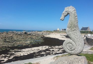
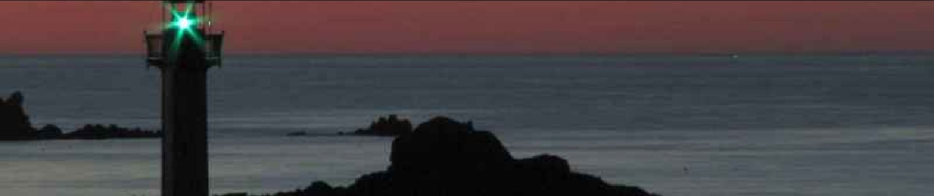
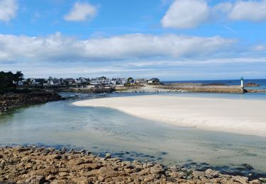
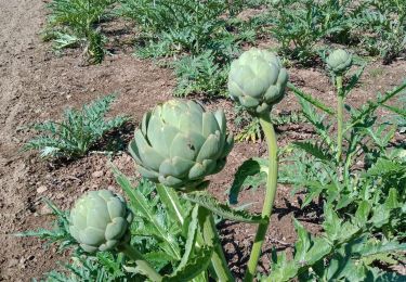
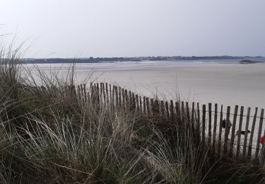
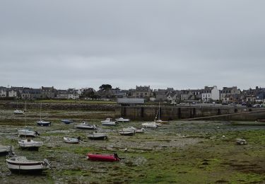
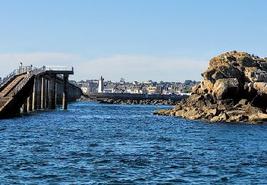
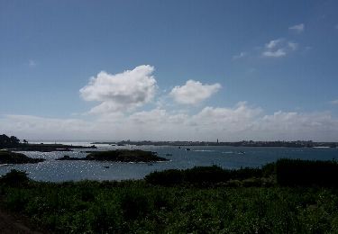
GR 34® de Roscoff à Port Neuf. Roscoff est situé sur une presqu'île de la Baie de Morlaix. Elle s'étend sur 619 hectares et possède 14 km de côte avec plusieurs plages de sable. Roscoff a deux ports : * un port de plaisance, le vieux port * un port en eau profonde, le port de Roscoff - Bloscon : pêche, commerce, trafic transmanche. En face de Roscoff, se situe l'Île de Batz. (source Wikipedia) Vous trouverez le descriptif détaillé de cette randonnée dans le Topo-guide® de la Fédération Française de la Randonnée Pédestre. Le découpage proposé ici est donné à titre indicatif pour équilibrer la distance de chaque tronçon. Chacun peut l’adapter à son niveau. Pour toute information complémentaire sur la randonnée: Comité départemental du Finistère: 4 ROUTE DE ST RENAN BP 02 29810 PLOUARZEL Tél. : 0298896006

Walking
Walking
Walking
On foot
Walking
On foot
Walking