


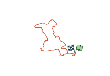
Circuit de Pipriac

chasle
User

Length
29 km

Max alt
79 m

Uphill gradient
297 m
Km-Effort
33 km

Min alt
13 m

Downhill gradient
297 m
Boucle
Yes
Creation date :
2022-03-16 16:45:10.389
Updated on :
2022-03-16 16:45:10.389

FREE GPS app for hiking
 SityTrail
IGN / Geographical institutes
SityTrail Plus
The world is yours!
About
Trail of 29 km to be discovered at Brittany, Ille-et-Vilaine, Pipriac. This trail is proposed by chasle.
Positioning
Country:
France
Region :
Brittany
Department/Province :
Ille-et-Vilaine
Municipality :
Pipriac
Location:
Unknown
Start:(Dec)
Start:(UTM)
578823 ; 5295543 (30T) N.
Comments