


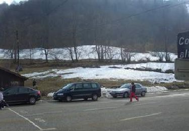
13.7 km | 21 km-effort

User


FREE GPS app for hiking
 SityTrail
IGN / Geographical institutes
SityTrail World
The world is yours!
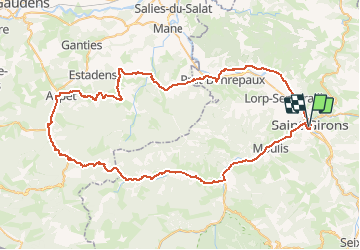
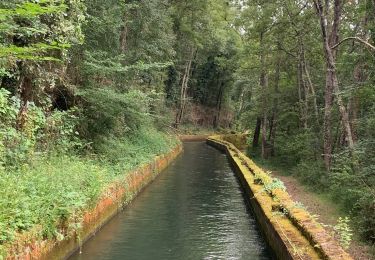
Trail Cycle of 89 km to be discovered at Occitania, Ariège, Saint-Girons. This trail is proposed by tracegps.
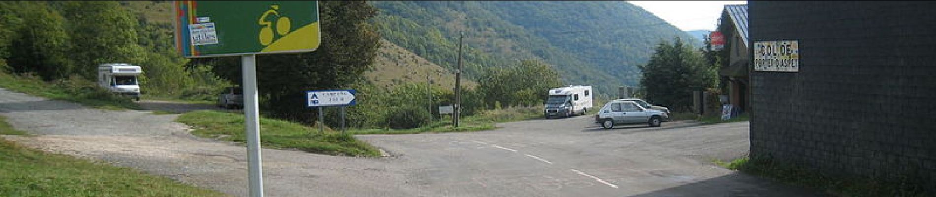
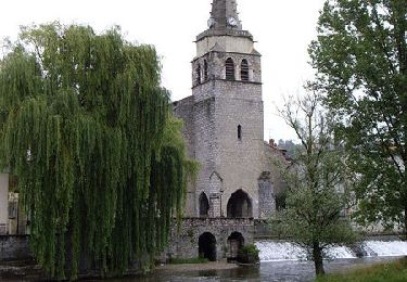
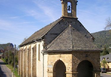
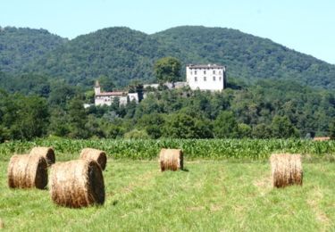
Départ de la mairie de St-Girons. Le circuit permet de découvrir : Audressein : église romane, belles peintures de la Renaissance, ex-votos. Galey : village pittoresque, anciens fours à pain. Portet d'Aspet : stèle en l'hommage du coureur cycliste Fabio Casartelli, décédé lors du Tour de France 1995. Aspet : château, site d'escalade. Montsaunès: ancienne commanderie des Templiers. Marsoulas : village martyr de la IIème guerre mondiale. Prat-Bonrepaux : château (visites tout l'été et sur rendez-vous en hiver). Retrouvez la description du circuit sur le site de l'Office de Tourisme de St-Girons St-Lizier.


Walking

Walking
Walking
Cycle
Cycle
Cycle
Walking
Mountain bike
Walking