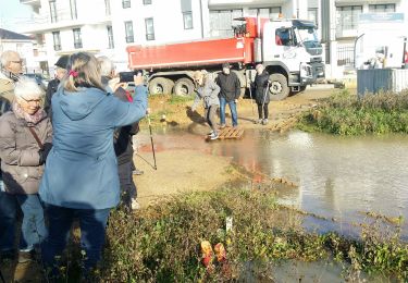
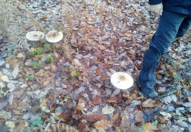
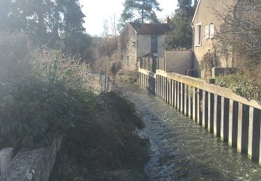
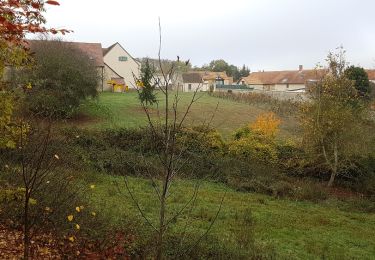
Trail Walking Plaisir - Plaisir et forêt de Ste Apolline  - Photo

Plaisir et forêt de Ste Apolline

 tracegps
tracegps

User

© OpenStreetMap contributors
Length
Length
12.7 km
Max alt
Max alt
183 m
Uphill gradient
Uphill gradient
205 m
Km-Effort
Km-Effort  
15.4 km
Min alt
Min alt
106 m
Downhill gradient
Downhill gradient
207 m
Boucle
Boucle
Yes
Creation date :
2014-12-10 00:00:00.0
Updated on :
2014-12-10 00:00:00.0

(2 Reviews)

Walking
Walking
2h30
Difficulty : Medium

Scan this QR Code to open this trail in the SityTrail application

FREE GPS app for hiking

Logo SityTrail SityTrail

IGN / Geographical institutes

Download SityTrail from the App Store Download SityTrail from Google Play

Logo SityTrail SityTrail World

The world is yours!

Download SityTrail from the App Store Download SityTrail from Google Play Download SityTrail on Huawei AppGallery

About

Trail Walking of 12.7 km to be discovered at Ile-de-France, Yvelines, Plaisir. This trail is proposed by tracegps.

Description

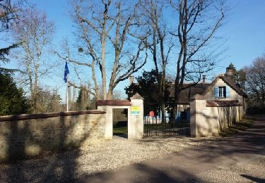
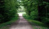
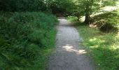
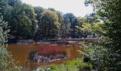
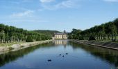
Le circuit principalement en forêt de St Apolline permet de découvrir le château de Plaisir. Celui-ci qui date du XVIIe siècle, a été classé monument historique en 1961 et a été racheté par la commune en 1976. Il a été réaménagé par la famille Le Tellier au XVIIIe notamment par l'ajout de deux ailes basses et des bâtiments annexes à vocation agricole. Le parc du château est site classé depuis 1946. © Wikipedia

Elevation profile

Photos

Positioning

Country:
France
Region :
Ile-de-France
Department/Province :
Yvelines
Municipality :
Plaisir
Location:
Unknown
Start:(UTM)
422411 ; 5406909 (31U) N.

Comments

Please log in to post a review or rate the element


Trails nearby

Trail Walking Le Tremblay-sur-Mauldre - rando du 12/03/2015 - Photo
Walking
microb

Walking

Easy
(1)
Le Tremblay-sur-Mauldre, Ile-de-France, Yvelines, France
7.1 km | 9.3 km-effort
1h 59min
Yes
Trail On foot Chavenay - PR - Photo
On foot
PRO

On foot

Easy
Chavenay, Ile-de-France, Yvelines, France
4.5 km | 5.6 km-effort
1h 16min
No
Trail Mountain bike Élancourt - VTT elancourt - Photo
Mountain bike
GUIDE
affinetataille

Mountain bike

Easy
Élancourt, Ile-de-France, Yvelines, France
26 km | 29 km-effort
2h 1min
Yes
Trail Walking Villepreux - Rennemoulin villepreux  - Photo
Walking
bernardb2

Walking

Medium
Villepreux, Ile-de-France, Yvelines, France
9 km | 9.9 km-effort
2h 15min
Yes
Trail Walking Maurepas - marche du 7 novembre 2019 - Photo
Walking
jimch58

Walking

Medium
Maurepas, Ile-de-France, Yvelines, France
8.6 km | 9.4 km-effort
2h 11min
No
Trail Walking Bois-d'Arcy - 10342278-Tour du bois des Clayes - Photo
Walking
VVerley

Walking

Medium
(1)
Bois-d'Arcy, Ile-de-France, Yvelines, France
11.6 km | 13.4 km-effort
2h 56min
Yes
Trail Walking Plaisir - Forêt de Ste Appoline - Photo
Walking
c.chehere

Walking

Medium
Plaisir, Ile-de-France, Yvelines, France
18.1 km | 22 km-effort
5h 21min
Yes
Trail Other activity Chavenay - balade chavenay Yvelines  - Photo
Other activity
bernardb2

Other activity

Very easy
Chavenay, Ile-de-France, Yvelines, France
3.1 km | 3.7 km-effort
1h 8min
Yes
Trail Walking Élancourt - Elancourt 08/11/2018 - Photo
Walking
microb

Walking

Medium
Élancourt, Ile-de-France, Yvelines, France
5.7 km | 6.6 km-effort
1h 33min
Yes


Close
My subscriptions