


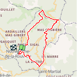

22 km | 40 km-effort

User


FREE GPS app for hiking
 SityTrail
IGN / Geographical institutes
SityTrail World
The world is yours!
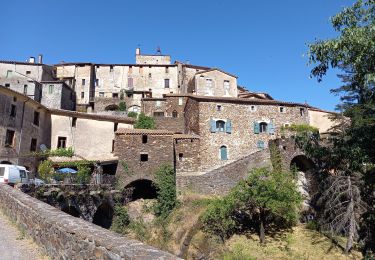
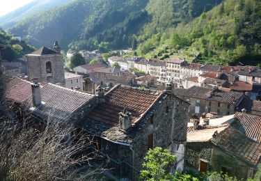
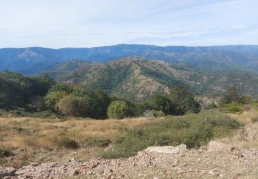
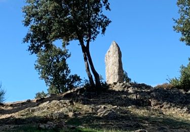
Trail Walking of 18 km to be discovered at Occitania, Gard, Val-d'Aigoual. This trail is proposed by tracegps.
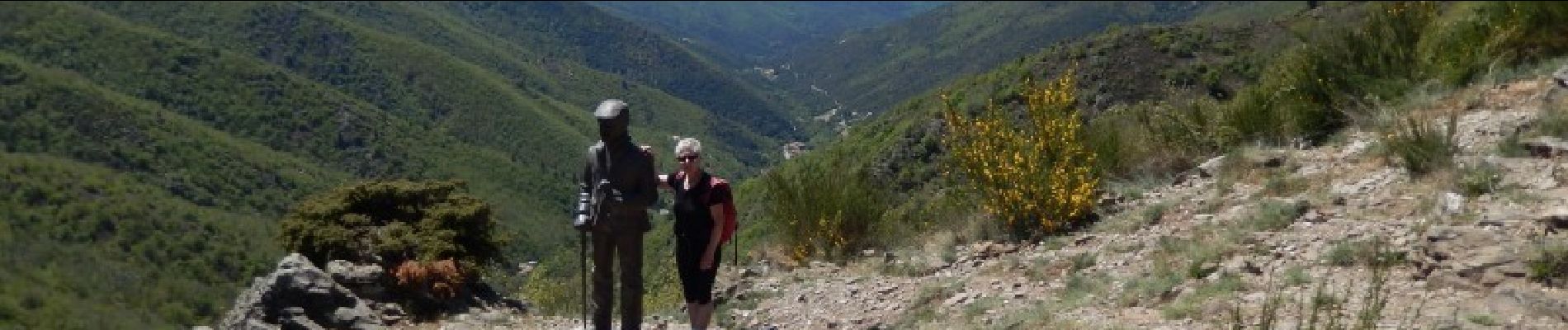
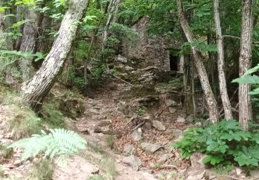
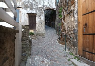
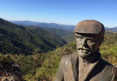
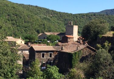
Départ du parking au village. De la place monter à Puech Sigal et tourner à gauche avant la 1ére maison pour gagner le Col de l'Homme Mort. Déboucher sur la crête et la suivre à droite vers le col de l'Asclier. Descendre vers Corbières puis Mourgues pour remonter au col de Bès. Prendre la route à droite vers le col de la Tribale. A droite, regagner ND de la Rouvière. Rando difficile (cumul des montées supérieures à 1000m !!) mais tellement belle !!! Bonne rando.


Walking
Walking
Walking
On foot
Walking

Walking
Walking
Walking
Hybrid bike
Une variante possible du col de l'asclier on peux rejoindre le col du Bes en restant sur le haut par le chemin vieux ( balisé) sans descendre et remonter s'élance est plus simple et évite un grand denivellé