


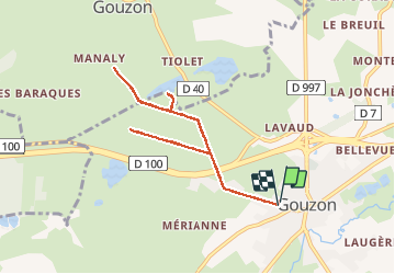


11.3 km | 12.2 km-effort


User


FREE GPS app for hiking
 SityTrail
IGN / Geographical institutes
SityTrail World
The world is yours!
Trail Walking of 8.6 km to be discovered at New Aquitaine, Creuse, Gouzon. This trail is proposed by JeanLucA4.
06/2014
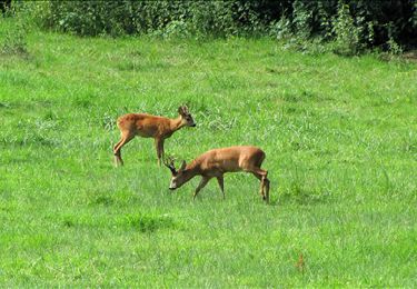
ballade facile. A l'approche d'un des étangs, sol marécageux. On peut revenir les pieds trempés même en été avec des hautes herbes mouillées!


Walking