


2022-04-07_21h47m08_Ternand_V2

daniellebou
User
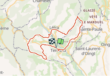

Length
17.8 km

Max alt
657 m

Uphill gradient
686 m
Km-Effort
27 km

Min alt
274 m

Downhill gradient
686 m
Boucle
Yes
Creation date :
2022-04-07 19:47:09.892
Updated on :
2022-04-14 22:44:58.557
6h07
Difficulty : Very difficult

FREE GPS app for hiking
 SityTrail
IGN / Geographical institutes
SityTrail Plus
The world is yours!
About
Trail Walking of 17.8 km to be discovered at Auvergne-Rhône-Alpes, Rhône, Ternand. This trail is proposed by daniellebou.
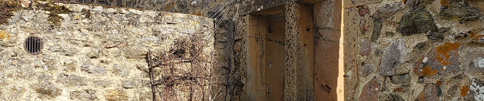
Photos


Positioning
Country:
France
Region :
Auvergne-Rhône-Alpes
Department/Province :
Rhône
Municipality :
Ternand
Location:
Unknown
Start:(Dec)
Start:(UTM)
618323 ; 5089167 (31T) N.
Comments