


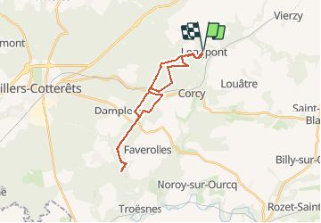


17.5 km | 21 km-effort

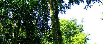
forêts de France


FREE GPS app for hiking
 SityTrail
IGN / Geographical institutes
SityTrail World
The world is yours!
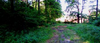
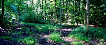
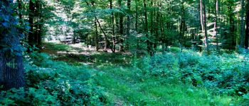
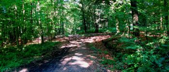
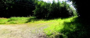
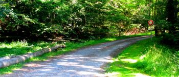
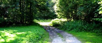
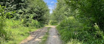
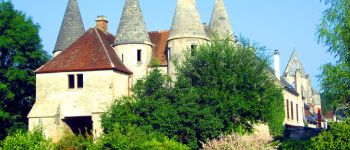
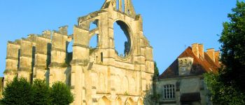
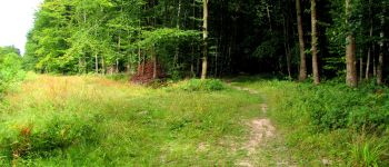
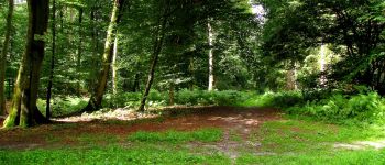
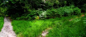
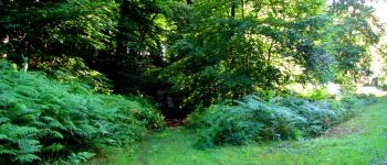
Trail Walking of 23 km to be discovered at Hauts-de-France, Aisne, Longpont. This trail is proposed by en forêt de Retz.
voir aussi:
http://foret-de-retz.over-blog.com/
07/2014
Une batterie pour iphone est indispensable pour le recharger si l'on veut enregistrer la rando avec sitytrail.
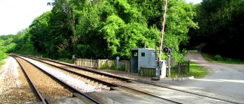
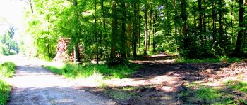
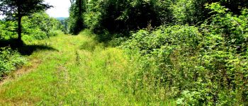
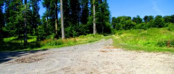
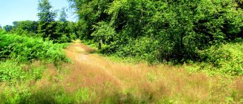
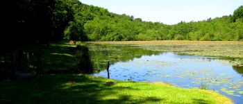
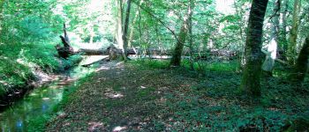
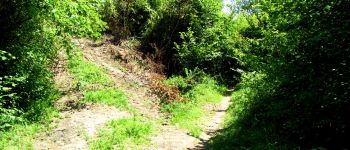
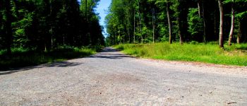
Depuis l'abbaye de Longpont, prendre le GR11A aux "trois maisons" et rejoindre le vieux chemin de Longpont. Continuer jusqu'au carrefour de Vieville et prendre à gauche la laie de la Route Droite. Passer le carrefour de château Fée et continuer sur la Route Droite. Traverser la voie ferrée, passer l'étang de la petite Ramée et traverser la D80. Continuer sur la Route Droite jusqu'à la fosse aux Loups. Prendre à gauche la laie de Vouty et tourner à droite au premier carrefour (pas de nom)dans la laie de la Poudrerie. Passer le carrefour de la Carpière et continuer jusqu'à la maison forestière du Bochet par la laie de la Fosse aux Demoiselles. Allez vers jusqu'au platane de Saint Antoine. Puis retour par le même chemin jusqu'au carrefour de la Retraite (laie de la Poudrerie). Prendre à droite la laie des vignes jusqu'au carrefour de Vouty puis suivre à gauche sur la laie du Trou de Térelle jusqu'à l'étang la grande Ramée. Suivre le ruisseau jusqu'à l'étang de la petite Ramée, traverser la voie ferrée et prendre à droite en longeant la voie ferrée. Récupérer sur la gauche la laie de l'étang et la suivre jusqu'au carrefour de l'Appel. Prendre la laie de Vauvaudran jusqu'au carrefour des Tourterelles puis à droite la route du Pendu jusqu'au carrefour du Pendu. Prendre la laie de la croix Pain Tendre jusqu'au carrefour Gaudrillard. Tourner à droite dans le vieux chemin de Longpont pour récupérer le GR11A et retour à Longpont.
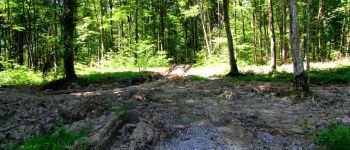
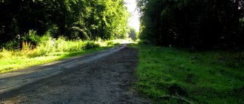
rando classée difficile à cause des ornières(50-80cm) à certains endroits, créées par les engins des bûcherons. Certaines peuvent encore contenir de l'eau ou être très boueuses et de plus inévitables.


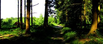
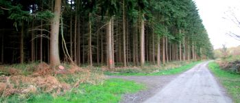
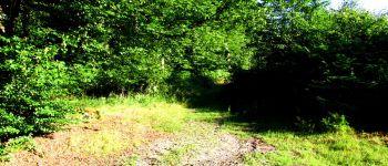
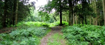
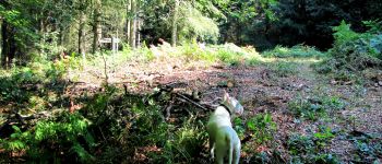
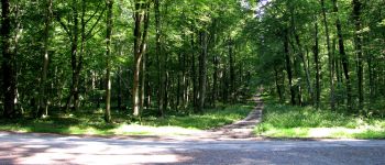
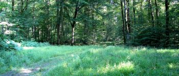
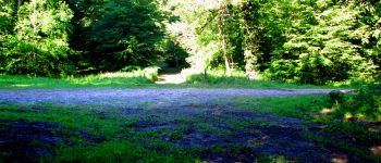
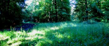
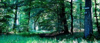
131 photos in total. Please click on a photo to see them all in the gallery.

Walking

Walking

Walking

On foot

On foot

Walking

Walking

Walking

Walking