


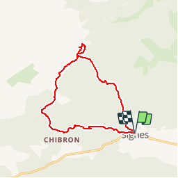


14.2 km | 18.3 km-effort


User


FREE GPS app for hiking
 SityTrail
IGN / Geographical institutes
SityTrail World
The world is yours!
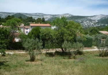
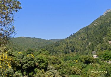
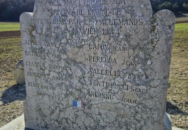
Trail Walking of 14.1 km to be discovered at Provence-Alpes-Côte d'Azur, Var, Signes. This trail is proposed by aja.
Faite partiellement avec Michèle et Bernard le 13/07/2018

Walking
Mountain bike
Walking

Walking

Mountain bike

Walking
Walking
Walking
Walking