


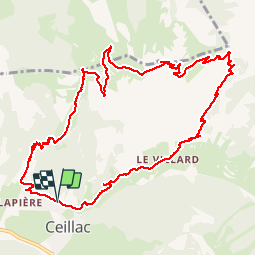


16.5 km | 36 km-effort


User GUIDE


FREE GPS app for hiking
 SityTrail
IGN / Geographical institutes
SityTrail World
The world is yours!
Trail Walking of 13.4 km to be discovered at Provence-Alpes-Côte d'Azur, Hautes-Alpes, Ceillac. This trail is proposed by amiral13.
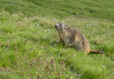
une jolie randonnée qui vous permettra d'atteindre le col de bramousse dans un cadre bucolique; ensuite le cadre se fera un peu plus désertique sur la crête des chambrettes, avec une superbe vue sur le massif de la fontsancte d'un côté et celui des écrins de l'autre.
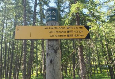
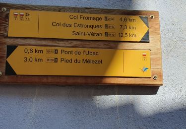
à partir du col fromage retour dans la forêt


Walking

Walking

Walking

Walking
Walking
Walking
Walking
Walking
Walking
Superbe rando merci du partage