


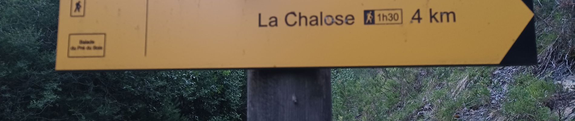
VERDACHES , balade du Pré des Bois o l m s

RobinMicheline
User GUIDE
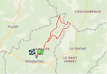

Length
12.9 km

Max alt
1534 m

Uphill gradient
433 m
Km-Effort
18.7 km

Min alt
1135 m

Downhill gradient
432 m
Boucle
Yes
Creation date :
2022-07-08 03:30:45.465
Updated on :
2022-07-12 17:38:54.32
3h20
Difficulty : Medium

FREE GPS app for hiking
 SityTrail
IGN / Geographical institutes
SityTrail Plus
The world is yours!
About
Trail Walking of 12.9 km to be discovered at Provence-Alpes-Côte d'Azur, Alpes-de-Haute-Provence, Verdaches. This trail is proposed by RobinMicheline.
Photos


Positioning
Country:
France
Region :
Provence-Alpes-Côte d'Azur
Department/Province :
Alpes-de-Haute-Provence
Municipality :
Verdaches
Location:
Unknown
Start:(Dec)
Start:(UTM)
287999 ; 4904953 (32T) N.
Comments