


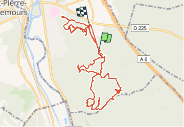


10.8 km | 13.2 km-effort

User


FREE GPS app for hiking
 SityTrail
IGN / Geographical institutes
SityTrail World
The world is yours!
Trail Walking of 15.2 km to be discovered at Ile-de-France, Seine-et-Marne, Nemours. This trail is proposed by randodan.
Mardi 05 août 2014.<br>
2e reconnaissance du circuit "Nemours - Rocher Vert, Musée" prévu pour M&R en sept.<br>
Départ du Parking "Casse-Pot" 8h50 . Direct vers la Carrière mais en passant près du 2e parking (pour voir qu'il n'y a que 2 tables)<br>
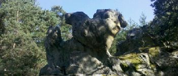
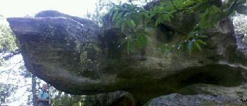
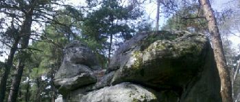
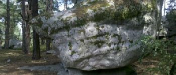
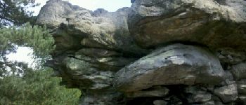
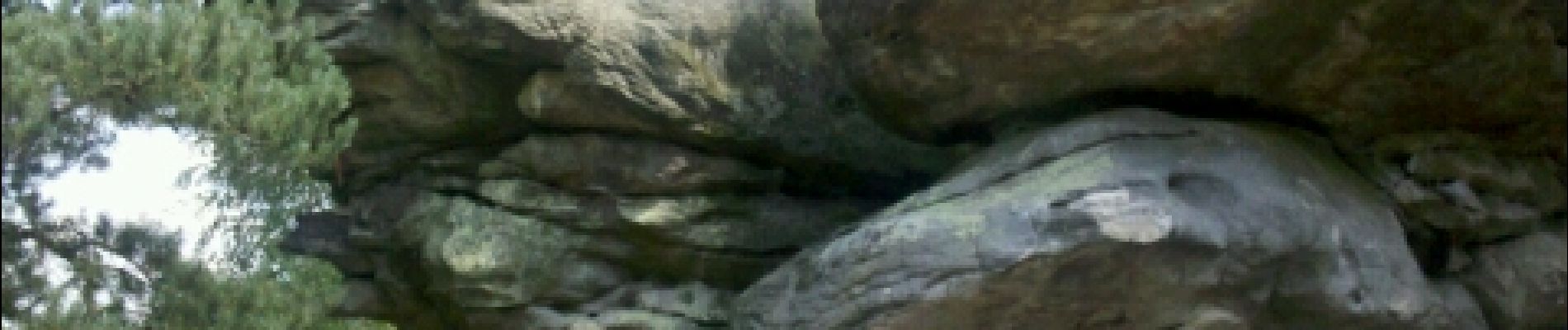
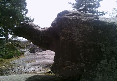
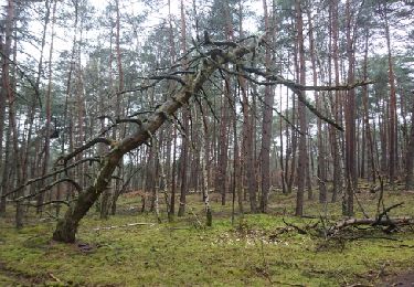
Faisons tout le tour de la Carrière Pierre le Sault pour le plaisir... Superbe !<br>
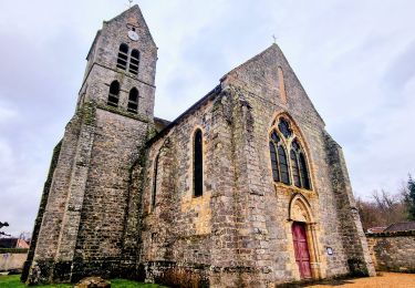
Traversons le Monastère de Bethléem . Chance, son église est ouverte et on peut la visiter.<br>
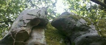
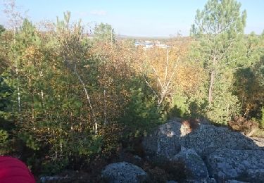
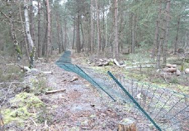
Pour réduire le bitume, prenons le 1er sentier à gauche qui devient vite du hors piste très moussu . Clôture ! C'est la limite de la Forêt Communale que nous devons contourner . Sur le GR13, je reconnais un vieux souvenir de frelons . Après le rocher du Baiser, le balisage faillit nous embarquer sur un mauvais sentier . On notera d'ailleurs de nombreuses erreurs et manquements de balisage dans ce massif de Nemours, en plus d'erreurs de tracé entre IGN et terrain :o(<br>
12h30, atablés pour le pique-nique.<br>
13h45, repartons pour retester la boucle Nord (après avoir amené les voitures au départ près du musée).<br>
Encore une fois, les sentiers "terrain" (vers le Mont d'Olivet) ne correspondent pas du tout aux sentiers "IGN" ! Entre-autre, le raccourci vers la butte du pylône, était bien le petit sentier vu par JP à la reco précédente.<br>
De retour au point de départ, voyant un sentier partir parallèle à la route, le prenons pour vérifier qu'il aboutit bien à notre parking préféré . Youpi, c'est bon !
15h45, de retour aux voitures. Une journée plus clémente que la précédente 'reco'.<br>
Mi JP Da


Walking

Walking

Mountain bike
On foot
Walking
Other activity

Other activity
Walking
Walking