


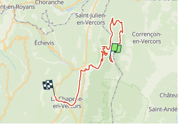


5.3 km | 10.6 km-effort


User GUIDE


FREE GPS app for hiking
 SityTrail
IGN / Geographical institutes
SityTrail World
The world is yours!
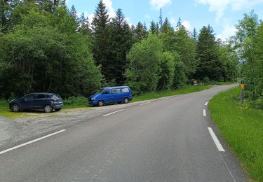
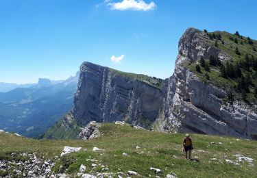
Trail Equestrian of 29 km to be discovered at Auvergne-Rhône-Alpes, Drôme, Saint-Martin-en-Vercors. This trail is proposed by holtzv.

Walking

Mountain bike

Other activity
Walking

Walking
Walking
Walking
Walking
Walking