


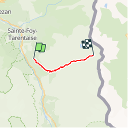

12.2 km | 22 km-effort


User


FREE GPS app for hiking
 SityTrail
IGN / Geographical institutes
SityTrail World
The world is yours!
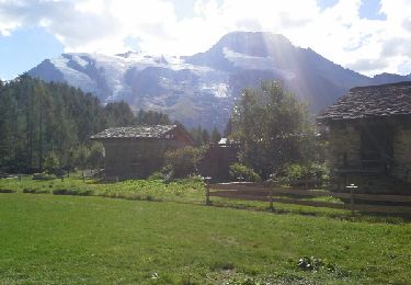
Trail Walking of 8.5 km to be discovered at Auvergne-Rhône-Alpes, Savoy, Sainte-Foy-Tarentaise. This trail is proposed by michelek.
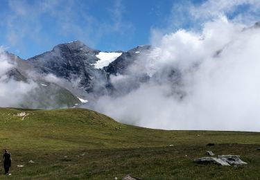
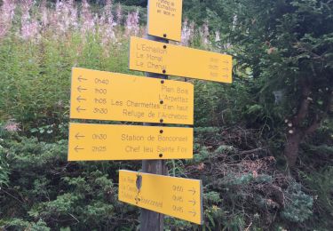
Depuis le parking de l'Echaillon, montée au Lac Noir en passant par Le Monal.
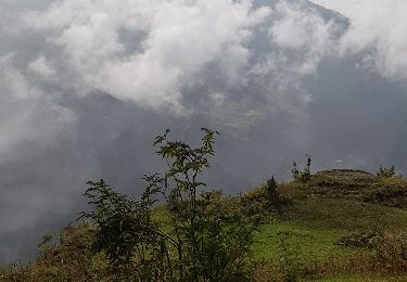
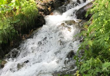
Découverte du Vallon du Clou qui a échappé de justesse à l'agrandissement du domaine skiable de Ste Foy
Walking
Walking

Walking
Walking

Walking

Walking
Walking
Walking
Walking