


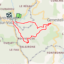

14.1 km | 24 km-effort


User


FREE GPS app for hiking
 SityTrail
IGN / Geographical institutes
SityTrail World
The world is yours!
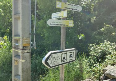
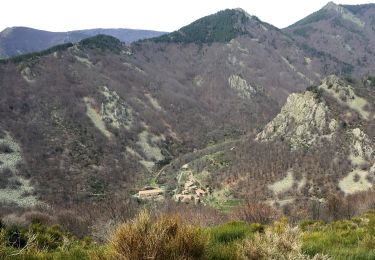
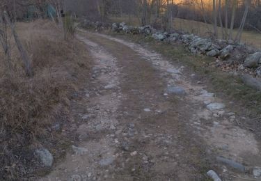
Trail Walking of 6.8 km to be discovered at Auvergne-Rhône-Alpes, Ardèche, Vallées-d'Antraigues-Asperjoc. This trail is proposed by pb07.
Walking

Walking
Walking

Walking
Walking
Walking
Walking
Walking
Walking
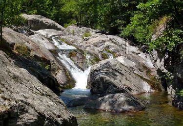
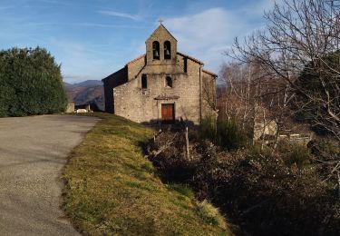
Très belle randonnée avec de très beaux points de vu, et une petite halte à la ferme de Craux pour déguster la glace au lait de chèvre....un délice !!!