


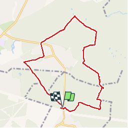


13.5 km | 15.2 km-effort

User


FREE GPS app for hiking
 SityTrail
IGN / Geographical institutes
SityTrail World
The world is yours!
Trail Walking of 8.6 km to be discovered at Ile-de-France, Val-de-Marne, Marolles-en-Brie. This trail is proposed by caro94.
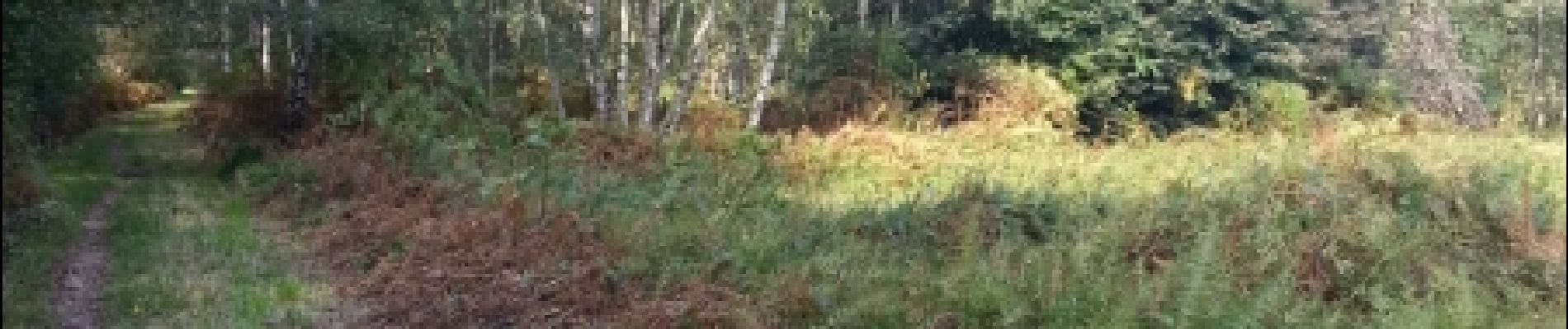
Chemins de forêt. Ne pas emprunter après un temps pluvieux


Walking

Walking
On foot
On foot

Walking

Walking
Walking

Walking

Walking
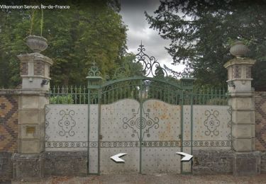
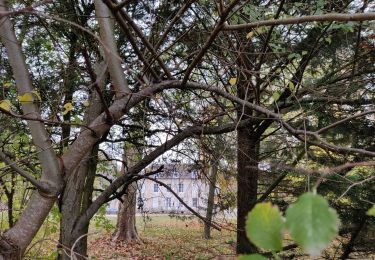
ça doit être une belle randonnée, mais je souhaite savoir si on peut la faire sans autorisation de propriétés?