


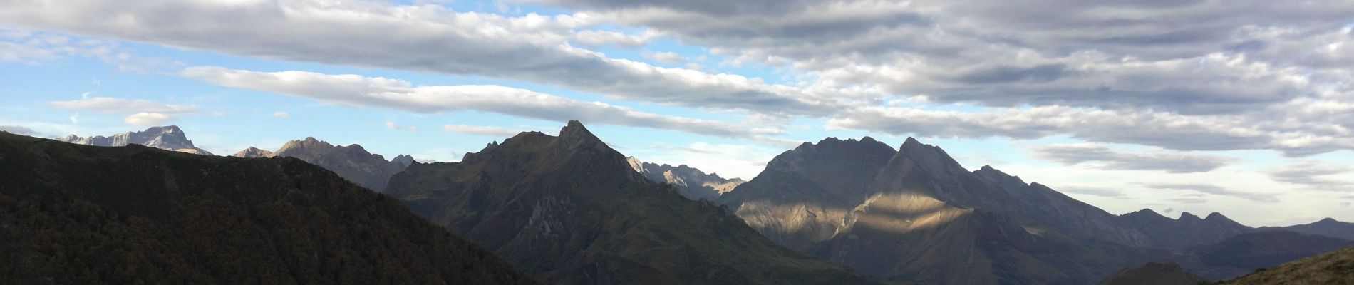
Pic de Cabaliros

chasle
User
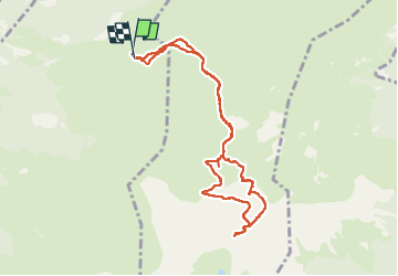

Length
10.2 km

Max alt
2325 m

Uphill gradient
765 m
Km-Effort
20 km

Min alt
1590 m

Downhill gradient
767 m
Boucle
Yes
Creation date :
2022-10-16 07:22:17.625
Updated on :
2022-10-16 16:34:15.702
3h30
Difficulty : Medium

FREE GPS app for hiking
 SityTrail
IGN / Geographical institutes
SityTrail Plus
The world is yours!
About
Trail Walking of 10.2 km to be discovered at Occitania, Hautespyrenees, Arras-en-Lavedan. This trail is proposed by chasle.
Photos


Positioning
Country:
France
Region :
Occitania
Department/Province :
Hautespyrenees
Municipality :
Arras-en-Lavedan
Location:
Unknown
Start:(Dec)
Start:(UTM)
733137 ; 4759298 (30T) N.
Comments