


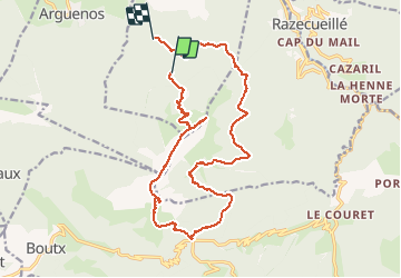

11.8 km | 18.7 km-effort


User


FREE GPS app for hiking
 SityTrail
IGN / Geographical institutes
SityTrail World
The world is yours!
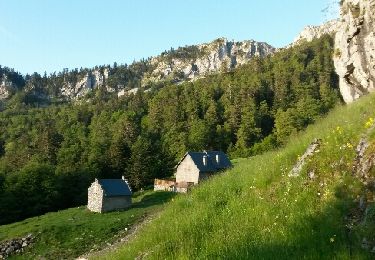
Trail Running of 21 km to be discovered at Occitania, Haute-Garonne, Juzet-d'Izaut. This trail is proposed by vincentpascal31.
Mountain bike

Walking

Running
On foot
Walking
Walking
Running
Walking

Walking