


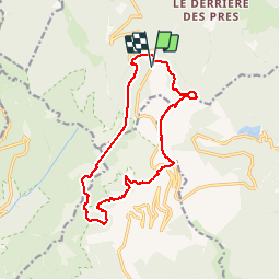


10.5 km | 17.7 km-effort

User


FREE GPS app for hiking
 SityTrail
IGN / Geographical institutes
SityTrail World
The world is yours!
Trail Walking of 14.8 km to be discovered at Grand Est, Vosges, Saint-Maurice-sur-Moselle. This trail is proposed by jeanclaude12.
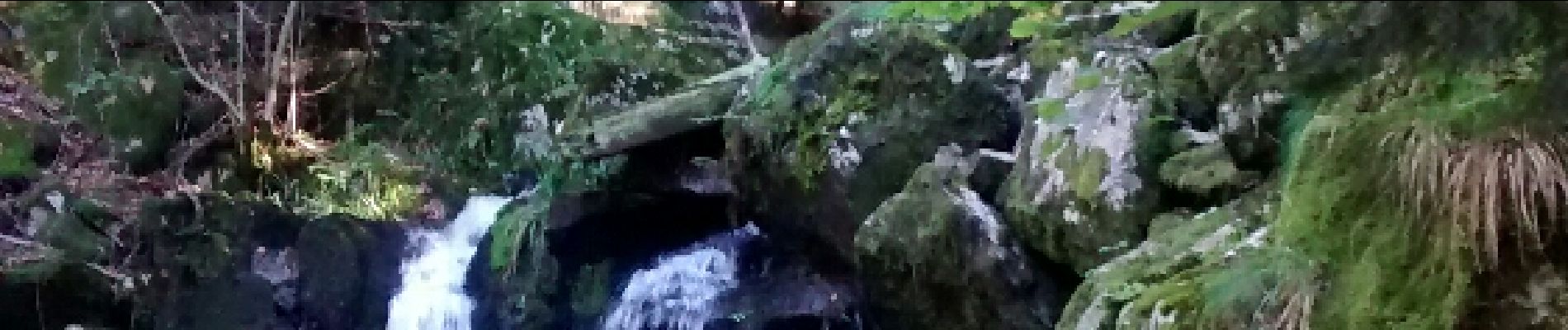
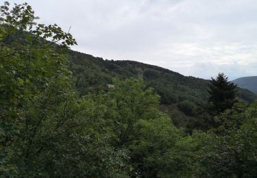
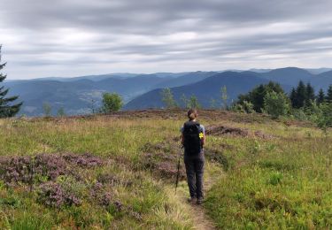
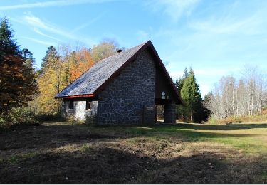
Randonnée à la journée au départ de La Jumenterie vers le Chemin Colas, le Refuge de la Grande Goutte et le Plain de l'épine, l'étang du Roseau, le Belvédère de la Cascade de Rummel et l'étang du Petit Haut, accueillant pour un pique-nique. Retour par le Chalet Bonaparte, la Chaumière, la Vierge du Ballon d'Alsace et le Belvédère Birckel avant d'arriver à La Jumenterie


Walking

Walking
Walking

Walking

Mountain bike

On foot
Walking

Mountain bike
Walking