


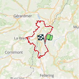


23 km | 36 km-effort


User


FREE GPS app for hiking
 SityTrail
IGN / Geographical institutes
SityTrail World
The world is yours!
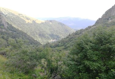
Trail Walking of 50 km to be discovered at Grand Est, Haut-Rhin, Wildenstein. This trail is proposed by doloop.
Inspiré de "Le Rainkopf - Kruth - Tour des Lacs des Vosges - Etape 6", adapté en boucle
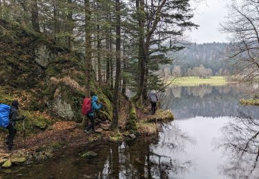
Walking
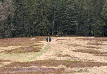
Walking
Walking
Walking

Walking

Walking

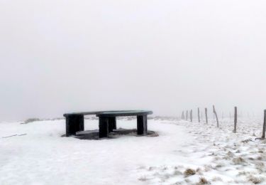
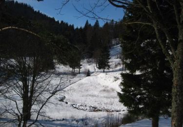
Snowshoes
Walking
Walking