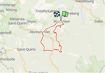

52 km | 67 km-effort


User


FREE GPS app for hiking
 SityTrail
IGN / Geographical institutes
SityTrail World
The world is yours!
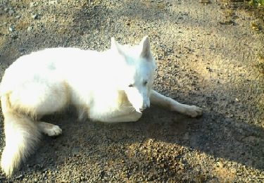
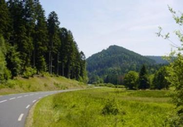
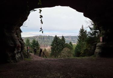
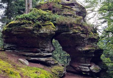
Trail Walking of 20 km to be discovered at Grand Est, Moselle, Walscheid. This trail is proposed by markrei.
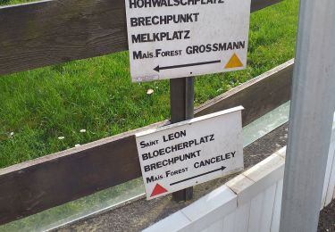
Walscheid- Abreschwiller-Lettenbach-La Croix Guillaume-Rocher du Calice-Le Grand Rommelstein-Grand Soldat-Nonnenbourg-Eigenthal-Grotte St Léon
Guide :Patrick Gruner
enregistrement : Daniel Creuzieux
Cycle

Mountain bike

Walking

Walking
Walking
Walking
Walking

Mountain bike