


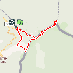


7 km | 8.9 km-effort


User


FREE GPS app for hiking
 SityTrail
IGN / Geographical institutes
SityTrail World
The world is yours!
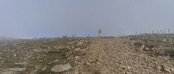
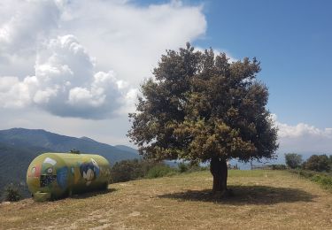
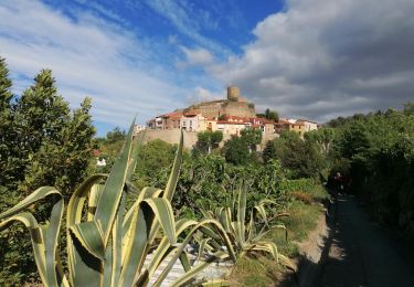
Trail Walking of 8.5 km to be discovered at Occitania, Pyrénées-Orientales, L'Albère. This trail is proposed by norbertmarteau.
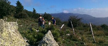
Très variés, mi ombre, mi soleil. Magnifique


Walking

Walking

Walking
Walking

Walking
On foot

Walking
Walking
Walking