


pollionay

maclobar
User
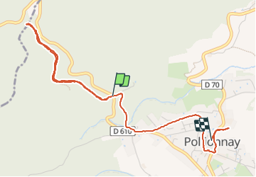

Length
4.9 km

Max alt
622 m

Uphill gradient
113 m
Km-Effort
6.8 km

Min alt
408 m

Downhill gradient
213 m
Boucle
No
Creation date :
2023-05-06 12:25:34.528
Updated on :
2023-06-06 22:55:01.729
2h11
Difficulty : Medium

FREE GPS app for hiking
 SityTrail
IGN / Geographical institutes
SityTrail Plus
The world is yours!
About
Trail Walking of 4.9 km to be discovered at Auvergne-Rhône-Alpes, Rhône, Pollionnay. This trail is proposed by maclobar.
Description
ballade dans les bois col de la Croix du Ban
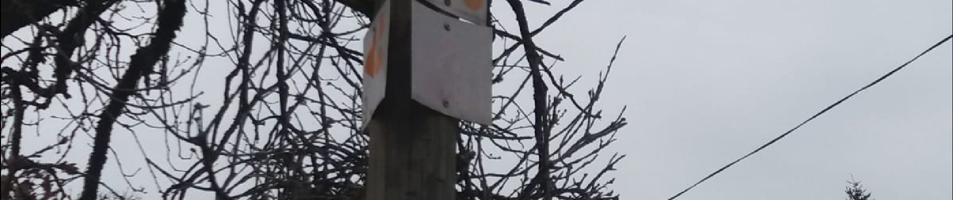
Photos


Positioning
Country:
France
Region :
Auvergne-Rhône-Alpes
Department/Province :
Rhône
Municipality :
Pollionnay
Location:
Unknown
Start:(Dec)
Start:(UTM)
628198 ; 5069793 (31T) N.
Comments