


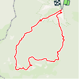

9.8 km | 13.6 km-effort


User


FREE GPS app for hiking
 SityTrail
IGN / Geographical institutes
SityTrail World
The world is yours!
Trail Walking of 11.3 km to be discovered at Occitania, Hautespyrenees, Saint-Pé-de-Bigorre. This trail is proposed by DuMarsan.
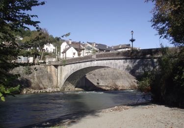
Vallée= Sr Pée de Bigorre
CARTE: Lourdes
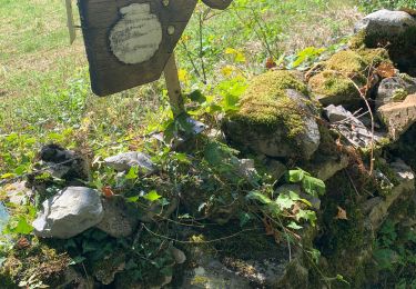
Départ = A ST Pée, emprunter la route traversant le passage à niveau et le gave pour aller en direction du monastère du "Desert de l' Immaculée". Juste avant d'arriver au monastère il y a un embranchement avec un panneau jaune de randonnée indiquant Bat de Hau.Prendre à Droite.Suivre la piste bien tracée et marquée jusqu'au refuge d'Aoulhet ( Abri bien équipée: table, bancs...)
On peut monter au soum des brioles tout proche.
2 itinéraires de descente qui se rejoignent. Celui figurant sur le tracé est le plus court.
La descente peut être glissante ( risque de chutes ) dans certaines conditions ( feuilles mouillées ...).
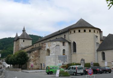
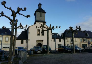
On revient à l' embranchement de départ et l ' on jette un oeil, au passage, sur l' impressionnant monastère et sur sa belle et sobre chapelle.
On foot
On foot
On foot
On foot

On foot

Walking
Walking
On foot
Walking